 Activities

The Nandi Forests yet unexplored by tourists
Geographical location & uniqueness
|
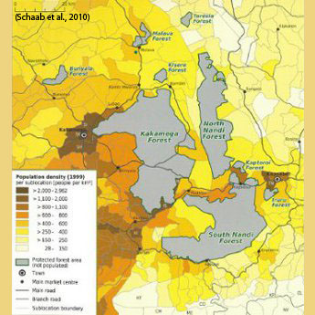
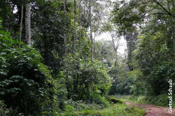
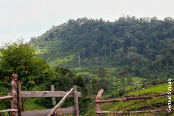
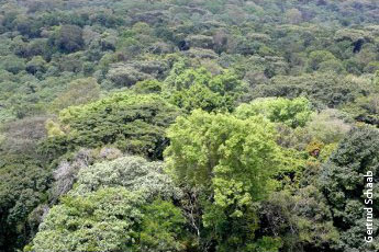
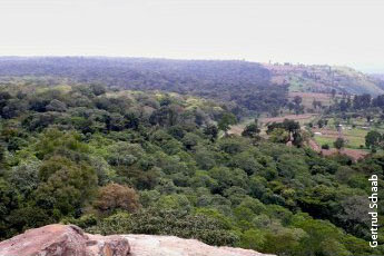
The Nandi Forests are most easily accessed from the Nandi capital Kapsabet, which can be reached from Kakamega (48 km away) in the west or from the east by diverting from the arterial road connecting Nakuru and Eldoret. Once these two forests formed one forest block together with Kakamega Forest. Nowadays, North Nandi Forest (10,540 ha in size) lies to its east and Sound Nandi Forest (17,894 ha) to its south east. Next to these are another three smaller forest patches: Teresia of 386 ha, Kaptoroi of 328 ha, and Iruru of 428 ha. TheNandi Forests are found on a higher altitude (1,695 to 2,145 m a.s.l.) with North Nandi Forest being placed on top of the Nandi Escarpment overlooking Kakamega Forest. The forests receive 1,600 to 2,000 mm of annual rainfall. South Nandi Forests is the source of the Yala River which is formed by the confluent of two smaller rivers. Being higher in altitude the Nandi Forests are dominated by montane species as well as by a lower biodiversity compared to Kakamega Forest. Only North Nandi Forest inhabits a nature reserve. From all the forests considered on these Web pages, South Nandi Forest is the only not being a mosaic of forest and grassland or wooded grassland cover. Within its official forest boundary, just 51% is natural forest area, 4% is covered by forest plantations including exotic monocultures. Regarding local forest use the Nandi Forests are comparable to Kakamega Forest. The unique features are that the forests are still understudied as well as yet hardly visited by tourists. Read more about "Forest surrounding" and "Tourist attractions" on the second page. |
|
1 / 2 |